
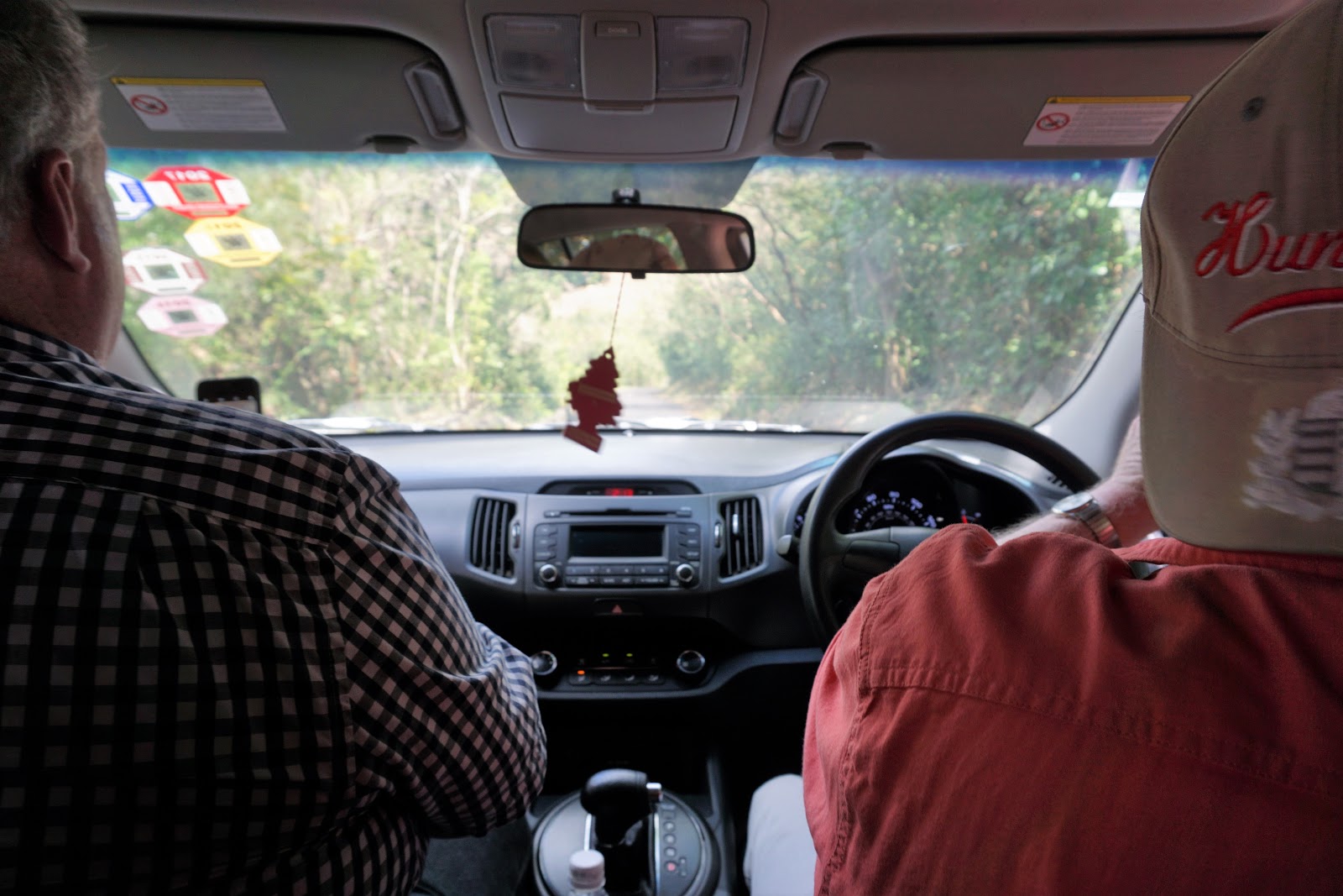
As St. Kitts is approximately 18 miles long and about 5 miles wide, the loop to drive around the island should be approximately 46 miles, but given the very narrow, winding condition of the road, the drive is longer and much, much slower than that:

The last place we visited and our turn-around point as we made our way clockwise around the island from our starting point at Basseterre was Brimstone Hill, marked by the red balloon on the map below with our route marked by the purple line. It would have been fun to complete the circuit, but that will have to wait for another visit.

Before going to Brimstone Hill, however, we had to find some lunch. We were looking forward to a quaint, St. Kittsian place serving distinct local food, but it was not to be. We stopped in Sandy Point Town just beyond the turnoff to Brimstone Hill. With a population just over 3,100, it is the second largest town on St. Kitts, which tells you something, doesn't it?
Anyway, perhaps we were not patient enough in our search. We could not find anywhere to eat that had a local flavor, so we ended up at a place called "King Snack" that turned out to be a Chinese fast food joint. It didn't look particularly promising, but our only other option seemed to be convenience store food.

I had garlic shrimp, and it was actually pretty good--lots of shrimp, crunchy broccoli, and plenty of brown rice.

Bob had fish chop suey, which had large chunks of fish and lots of vegetables, but was a little too fried and crunchy for me:

We added the Caribbean flavor we were seeking by dowsing the food in West Indian Hot Flambeau Sauce, and then washed it all down with grapefruit Schweppes. It was as very international lunch.


Our tummies full, we were ready for our next adventure.
Brimstone Hill Fortress, a UNESCO World Heritage Site, is at the end of a very steep, narrow, winding road. This sign on one of the hairpin turns reminded me of the song "I've Been Working on the Railroad." ("Dinah won't you blow your hor-or-orn!"):

I love the lush, colorful Caribbean vegetation, such as these white orchids growing in trees that themselves have pink blooms:

There is a cannon just off the Brimstone Hill parking lot, so we took our traditional Cannon-with-a-cannon photo:


Apparently someone who climbed before us needed extra hydration to get to the top:

Looking west, THIS is what we saw from the fortress:


St. Kitts was the very first island in the West Indies to be colonized by Europeans, and there were many struggles between the English and French for dominance .
The first structure on this site, Fort Charles, was built by the British in about 1670. It was captured by the French in 1690. The British dragged some cannons up the hill above Fort Charles to the site of the current Brimstone Hill Fortress to fire on Fort Charles and rout the French. Eventually the British built their new fortress on the hilltop, and by the 1890s, the original buildings at Fort Charles were being used as a leper colony. The last leper died in 1996, and since then the site has fallen into disrepair.

Because of its imposing location 800 feet above the sea and its seeming invulnerability, the Brimstone Hill Fortress, aka "The Fort George Citadel" (named after George III, the reigning British monarch at the time), was once known as "The Gibraltar of the West Indies." It was in active use until the mid 1850s, at which time it was abandoned by the British.

Restoration of the entire site began in the early 20th century, with the Prince of Wales Bastion being completed first (and rededicated by Prince Charles in 1973). In 1985, Queen Elizabeth II designated Brimstone Hill a national park, and UNESCO named it a World Heritage Site in 1999.

"Brimstone" is another word for "sulphur," a key ingredient in gunpowder. It is also refers to the volcanic rock from which the citadel is built:

Fort George reminded me a lot of the slave castles we had visited in Ghana (see here, here, here and here). It was built by slaves, and was likely used to hold slaves as nearby Sandy Point had a large port used by slave ships:

Like the slave sites in Ghana, there is a large central courtyard surrounded by offices and personal living quarters:

The irregularly shaped citadel is an early example of "polygonal fortification," a structure specifically designed to withstand cannon fire.

On the day we were there, it was serenely quiet, a day when it was almost impossible to imagine the thunderous roar of cannons, the smell of scorched sulphur filling the air, and the bodies of dying men scattered on the ramparts.


Fort George has developed some of the rooms into a museum to preserve that history, as well as the more day-to-day goings on of the fort:

For example, this room is The Bakehouse, which produced a daily ration of bread for the soldiers. The bread was baked in the two wood-fired ovens at the back of the room:

Whoa! It took me a minute to realize this was not a real person:

This is what happened when a soldier misbehaved--he got locked up in basement room with only a mattress and a porta-potty bucket. Ugh!

An honest-to-goodness uniform:

. . . and an honest and good sister-in-law playing soldier:


There is no railing around the big drop into the courtyard. I would not want to take a group of rowdy 4th graders on a field trip here:

A little pushing, shoving, and jostling is ALWAYS going on among 4th grade boys. I think I'd just keep them down in the courtyard and off the roof altogether.

I'm sure they would behave in the gift shop while I went up on the roof without them! The view is too fabulous to miss. The Dutch-owned island of St. Eustatius rises on the horizon like Shangri-la in the mist:

From the roof, we also had a good view of the flagpole. The flag was flying at half-staff, and we weren't sure why:


Time to go. We didn't want to miss the boat.
As we were winding down the Brimstone Hill driveway, suddenly a troop of five or six monkeys was running across the road in front of the car. Darn! My camera was zipped up in its case, and by the time I pulled it out, the monkeys were hiding in the dense green curtain shading the road:

If we looked very, very closely, however, we could catch a glimpse of one here and there:

This is better than Where's Waldo. Find the monkey in the picture below:


I'm always intrigued by Coke's ubiquitous culture:

Even better than Coke's expanding sphere, however, is the omnipresence of a much healthier, much better food item:

Hey! Slow down! Wait! I need to do some shopping!

The last place we visited and our turn-around point as we made our way clockwise around the island from our starting point at Basseterre was Brimstone Hill, marked by the red balloon on the map below with our route marked by the purple line. It would have been fun to complete the circuit, but that will have to wait for another visit.

Before going to Brimstone Hill, however, we had to find some lunch. We were looking forward to a quaint, St. Kittsian place serving distinct local food, but it was not to be. We stopped in Sandy Point Town just beyond the turnoff to Brimstone Hill. With a population just over 3,100, it is the second largest town on St. Kitts, which tells you something, doesn't it?
Anyway, perhaps we were not patient enough in our search. We could not find anywhere to eat that had a local flavor, so we ended up at a place called "King Snack" that turned out to be a Chinese fast food joint. It didn't look particularly promising, but our only other option seemed to be convenience store food.

I had garlic shrimp, and it was actually pretty good--lots of shrimp, crunchy broccoli, and plenty of brown rice.

Bob had fish chop suey, which had large chunks of fish and lots of vegetables, but was a little too fried and crunchy for me:

We added the Caribbean flavor we were seeking by dowsing the food in West Indian Hot Flambeau Sauce, and then washed it all down with grapefruit Schweppes. It was as very international lunch.


Our tummies full, we were ready for our next adventure.
Brimstone Hill Fortress, a UNESCO World Heritage Site, is at the end of a very steep, narrow, winding road. This sign on one of the hairpin turns reminded me of the song "I've Been Working on the Railroad." ("Dinah won't you blow your hor-or-orn!"):

I love the lush, colorful Caribbean vegetation, such as these white orchids growing in trees that themselves have pink blooms:


. . . and a "two Cannons with a cannon" photo:

We could see the fort at the top of the hill:

There are no elevators or escalators, just what appears to be a gently sloping walkway:

However, it is steeper than it looks from below:


Apparently someone who climbed before us needed extra hydration to get to the top:

Looking west, THIS is what we saw from the fortress:

Looking below us, we could see the Prince of Wales Bastion, which once housed the brigade office, barracks, and a powder magazine.

St. Kitts was the very first island in the West Indies to be colonized by Europeans, and there were many struggles between the English and French for dominance .
The first structure on this site, Fort Charles, was built by the British in about 1670. It was captured by the French in 1690. The British dragged some cannons up the hill above Fort Charles to the site of the current Brimstone Hill Fortress to fire on Fort Charles and rout the French. Eventually the British built their new fortress on the hilltop, and by the 1890s, the original buildings at Fort Charles were being used as a leper colony. The last leper died in 1996, and since then the site has fallen into disrepair.

Because of its imposing location 800 feet above the sea and its seeming invulnerability, the Brimstone Hill Fortress, aka "The Fort George Citadel" (named after George III, the reigning British monarch at the time), was once known as "The Gibraltar of the West Indies." It was in active use until the mid 1850s, at which time it was abandoned by the British.

Restoration of the entire site began in the early 20th century, with the Prince of Wales Bastion being completed first (and rededicated by Prince Charles in 1973). In 1985, Queen Elizabeth II designated Brimstone Hill a national park, and UNESCO named it a World Heritage Site in 1999.

"Brimstone" is another word for "sulphur," a key ingredient in gunpowder. It is also refers to the volcanic rock from which the citadel is built:


Like the slave sites in Ghana, there is a large central courtyard surrounded by offices and personal living quarters:

The irregularly shaped citadel is an early example of "polygonal fortification," a structure specifically designed to withstand cannon fire.

On the day we were there, it was serenely quiet, a day when it was almost impossible to imagine the thunderous roar of cannons, the smell of scorched sulphur filling the air, and the bodies of dying men scattered on the ramparts.


Fort George has developed some of the rooms into a museum to preserve that history, as well as the more day-to-day goings on of the fort:


Whoa! It took me a minute to realize this was not a real person:

This is what happened when a soldier misbehaved--he got locked up in basement room with only a mattress and a porta-potty bucket. Ugh!


. . . and an honest and good sister-in-law playing soldier:

It was time to go upstairs to the roof. This is looking back down the stairs. Again, the fort reminds me of the slave castles in Ghana:

Oh good. Here come my partners in crime:

The heavy artillery is on the roof:

There is no railing around the big drop into the courtyard. I would not want to take a group of rowdy 4th graders on a field trip here:

A little pushing, shoving, and jostling is ALWAYS going on among 4th grade boys. I think I'd just keep them down in the courtyard and off the roof altogether.


From the roof, we also had a good view of the flagpole. The flag was flying at half-staff, and we weren't sure why:


As we were winding down the Brimstone Hill driveway, suddenly a troop of five or six monkeys was running across the road in front of the car. Darn! My camera was zipped up in its case, and by the time I pulled it out, the monkeys were hiding in the dense green curtain shading the road:


This is better than Where's Waldo. Find the monkey in the picture below:

I'll give you a hint:


Eventually we made it back to Basseterre and returned our car, then made our way back to the ship. This building caught my eye:

I'm always intrigued by Coke's ubiquitous culture:

Even better than Coke's expanding sphere, however, is the omnipresence of a much healthier, much better food item:


I hadn't put together that the island we could see was St. Eustatius. The drive up to Brimstone Hill felt like one of the more adventurous drives I've ever made. Super tight corners, very, very steep and openings for the car that left very little room for error. A very nice stop.
ReplyDeleteWhen I saw the first picture I thought, "What? Stan never drove!" I never did get use to the wrong side of the road. I still love all the shades of blue and green.
ReplyDelete