Showing posts with label mountains. Show all posts

Sunday, June 11, 2023

COLOMBIA: TATAMA NATIONAL NATURAL PARK, PART 2

 Tuesday, March 21, 2023

I got up at 4:30 to shower to be ready for a 5:30 drive to the top of a nearby mountain. Savannah, as always, was ready on time and waiting for us outside her room. We stopped for a few minutes at the moth net to see what was left from the previous night's partiers, then got in a truck that was waiting to take us to the lodge, where we drank some hot chocolate and picked up food for a breakfast that we would eat at the end of our drive.

We only stopped a few times to look at birds on our way up a steep road. It took us two hours to drive about 8 miles, which gives you an idea about the condition of the road, which was built to service a military base at the top. The road would be impassable to most vehicles. It is rocky and uneven. Our driver, Jon, drove very slowly.

From the end of the road, we had a beautiful view of the rugged Tatamá Peak across the way, shimmering in the early morning light. Its summit is 13,500 feet above sea level, and there are several other peaks we could see in the same range that must also be close to that elevation.


The far-left guerrilla group FARC (Fuerzas Armadas Revolutionarias de Colombia, or Revolutionary Armed Forces of Colombia) attacked this military outpost in 2000 during a long period of Colombian conflict. Apparently the outpost is there to protect some vital communications towers that link isolated parts of the country. According to an LA Times article, there were 600 FARC rebels who attacked 50 government soldiers at the complex. The government soldiers ultimately prevailed, although there were at least 20 fatalities. The family who runs the Tatamá Eco-lodge told us that they saw soldiers bringing all the bodies down from the mountain.

The road we took ended at a gate that said no photos were to be taken of the military facility, but I figured the tops of the communications towers that peaked out over the heavy vegetation were okay.

The forest service has built a large observation deck at the end of the road. 

Sunday, September 26, 2021

NEW MEXICO: ORGAN MOUNTAINS, DRIPPING SPRINGS TRAIL

July 3, 2021

On July 2 we stopped at the Dripping Springs ranger station in the Organ Mountains on our way to our hotel in Las Cruces. We were hoping to do a three-mile hike, but rain was threatening and we didn't want to be caught in a storm, so we continued on to Las Cruces and came back the nexr morning

Our son Sam did some rope climbing here with a friend several years ago, so we were intrigued to visit and get an up-close view. These needle peaks loom over Las Cruces like Mordor rises over Middle-earth in The Lord of the Rings. 


These first pictures were taken through the car window on our way in just as the sun was rising.


Wednesday, September 8, 2021

NEW MEXICO AND TEXAS: GUADALUPE MOUNTAIN NATIONAL PARK AND WHITE'S CITY

July 1, 2021

We had a day of hiking planned and wanted to get an early start. We were out the door by 6:00 AM and on our way to McKittrick Canyon in Guadalupe Mountain National Park. Low clouds still clung to the Guadalupe Peaks, and the air was cool and fresh because of the rains of the previous two days.


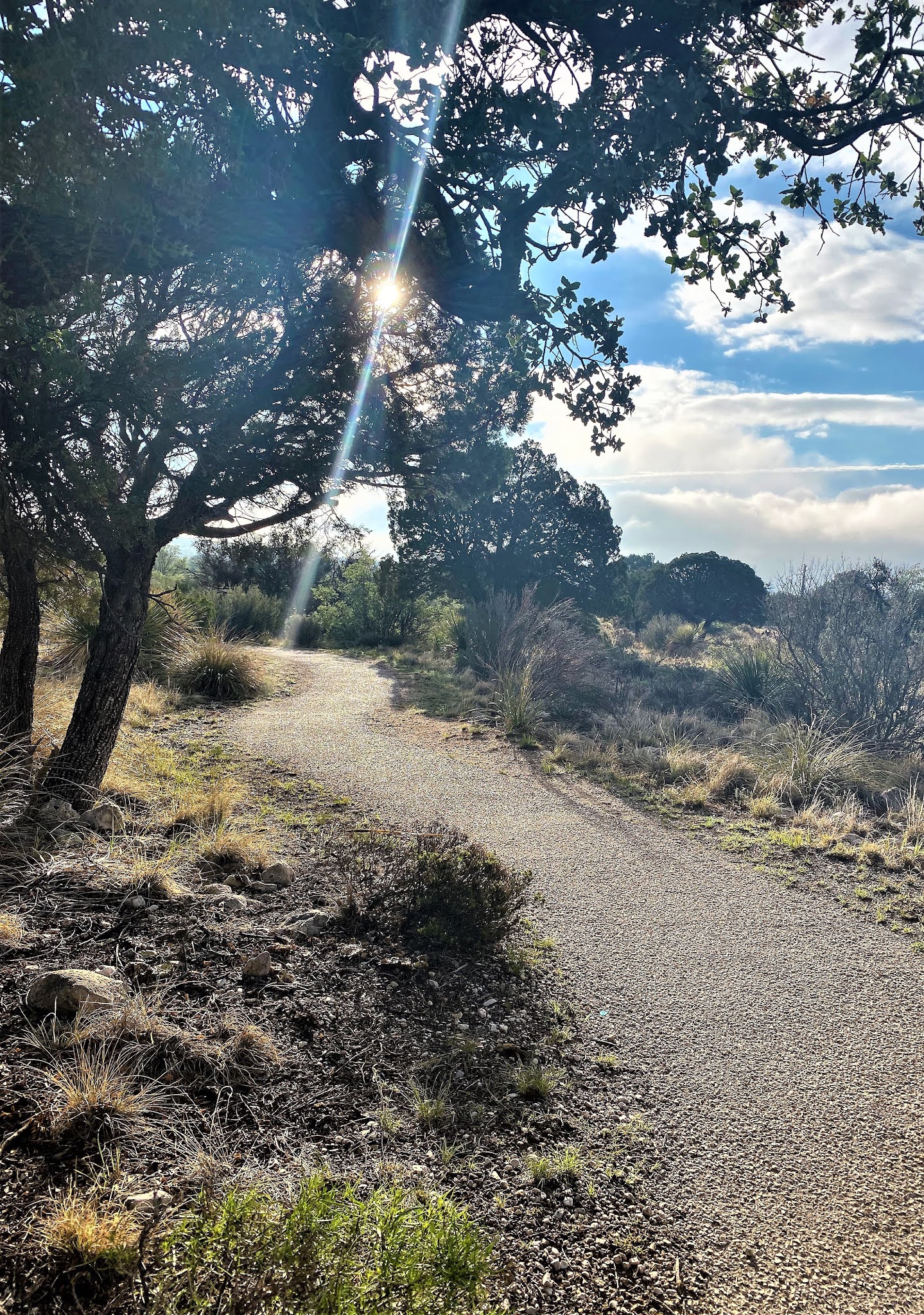
We arrived at the gate to McKittrick Canyon at 6:50 AM. Since it wasn't supposed to open until 8:00, we drove to the Guadalupe Mountains National Park main visitor's center. It also did not open until 8:00, so we walked an easy one-mile loop trail that was nearby.


Friday, January 12, 2018

ALMATY, KAZAKHSTAN: THE MEDEU SKATING RINK AND KOK TOBE HILL

1. MOUNTAINS AND MEDEU SKATING RINK

Our bus took us out of the city of Almaty, up a winding mountain road, and through some breathtaking scenery. It was October 5th, and the first snow of the season had already fallen the previous day. 


The buses parked in a lot next to the Medeu Skating Rink, the highest Olympic-sized skating rink in the world. It is situated at 5,548 feet above sea level, making it a great place for high-altitude training:


Wednesday, September 7, 2016

IMLIL AND AROUMD, MOROCCO: VIEWS OF JEBEL TOUBKAL

We left the wild craziness of the Berber Market and drove the last few miles to Imlil.

On the way, I spotted this delivery truck on the road and wondered how many mothers in this area have the luxury of disposable diapers, and how the trash collection system works in the many small villages we passed.
There are some things you just don't learn when you are a tourist. 

The spectacular Atlas Mountains stretch more than 1500 miles across the north end of Africa. We had already spent some significant time driving through other sections of the Atlas (see here and here), but we were really looking forward to seeing Jebel [Mount] Toubkal, the tallest mountain in Northern Africa at 13,665 feet.

Aziz took us to the upper edge of Imlil, which serves as the starting point for those who want to make the trek to Jebel Toubkal's summit. Most people take a day to hike 5-7 hours to the base camp, spend the night there, and then rise early for the final ascent, which takes 2.5 to 4.5 hours, depending on the route. (For a complete description, see this site.)

At first we thought this majestic specimen was The Great Mountain:

However, later we got a better view of the real Jebel Toubkal, located to the left of and behind the mountain in the above photo:

Here it is, just over Bob's head:

Sunday, April 6, 2014

ALABAMA'S HIGHEST POINT: CHEAHA STATE PARK (With a side order of Gladys Knight's Chicken and Waffles)

Bob and I had plans to climb to the highest point in Alabama, and we knew we needed to fuel up before leaving Atlanta, so we stopped for lunch at Gladys Knight's Chicken and Waffles Restaurant: 
I like Gladys Knight a lot, and I like her even more now that I've seen the rules she has posted in the window of her restaurant:

I've never thought to combine chicken and waffles on the same plate, and I can't say that I plan on doing it for our next dinner party, but it was pretty fun to try it in Atlanta. In fact, it's a common combination all over the South.
Bob's Southern-fried chicken
My waffle--moist and soft with a slight sweetness
Our sides were the best part of the meal: corn, cheese and grits,
black-eyed peas, and collard greens

Sunday, September 8, 2013

COLORADO SCENERY

I have been buried by work for about the last month.  Not only did the semester start three weeks ago, but I had a HUMONGOUS deadline with the publishing company I work for set for September 9th.  I have been sitting at this desk in front of this computer with my eyes glazed over for far too many hours.  The good news is that Friday afternoon I completed the deadline three days ahead of schedule!
I finally have a few minutes to work on a blog, something I haven't done since August 8th.  That may be the longest I've gone without blogging since I started up this little venture.  We do currently have house guests, but they are self-sufficient and I've slipped away for a few minutes to finish this off.

In early August, Bob and Andrew and I took a five-day trip to Colorado just before school started for me.  This is a trip Bob and Sam and Andrew usually take together, but since Sam couldn't go this year, I was the lucky sub.

Bob's goal on these trips is always to climb as many Fourteeners, or mountains in excess of 14,000 feet, as possible.  There are 68 in the United States, and he has now climbed 30. On this trip, he climbed Quandary Peak, La Plata, and Yale.  (He would have climbed Princeton as well had I not been along, but that's a story for another day.) Because on Bob's blog he writes extensively about his experience on each mountain, I decided my posts about our trip would focus mainly on scenery and people, so this post and the following one will be picture-heavy and text-light.  

Andrew is less interested in bagging a summit than he is in bagging some wild mushrooms, so generally he and I would follow Bob up to tree line (about 12,000 feet in elevation), and then make our way slowly back down the mountain, looking for highly desirable King Boletes, truly the king of wild mushrooms. I'll cover our mushroom harvests in the next post.  

And so, without further ado . . . 


Saturday, July 28, 2012

CALIFORNIA: MOUNT BADEN POWELL

Who in his or her right mind gets up at 4:00 a.m. to climb a mountain?  You have to be a little crazy to do that, but no one has ever accused the Cannons of being anything but crazy.

Our target this morning was 9,407-foot-tall Mt. Baden-Powell, named after Lord Baden-Powell, the founder of the World Scouting Movement.  The mountain is part of California's San Gabriel Mountain range, and the trailhead is a few miles above Wrightwood.

Bob and I started hiking around 6:00 a.m., just before sunrise.  It was awesome watching the sun's golden rays spread across the valley and mountain.


There was only one bench on the entire hike, and it was about a mile up the mountain.  I figure it's there for OLD people who can't make it to the top.  That may be me one day, but not yet.
Isn't Bob cute?


       Can you see the heart in the trees on the left?          Here is a close-up:

There were some places that were fairly steep (the picture on the left doesn't really do it justice), and it reminded me of the super steep and super long escalator in Budapest's subway.  It would have been nice to have one of those here.
At the end of July, most of the pretty flowers have started to disappear. A few weeks ago, this relatively rare snow plant would have been beautiful:
 Another wilting snow plant, surprising in its solitude:
There were a few other flowers here and there, but it was pretty sparse:


We got to the final two-tenths of a mile just before 8:00 a.m.:

View over the edge:

We stopped to take some pictures of the Wally Waldron Tree, a Limber Pine estimated to be about 1500 years old and thought to be the oldest tree in all of the San Gabriels.  A nearby plaque identifies Wally as someone who was "untiring in his efforts" in behalf of the Boy Scouts of America.

This is a tree with its own personality, much like the Whomping Willow in the Harry Potter books.  It seems almost sentient:

 The summit has a nice monument to Lord Baden-Powell:

 . . . and the obligatory U. S. Geological Survey marker:

We had seen one group of campers about mid-way up the trail, but they were just getting up when we passed by.  We were the first to make the summit today, so we had to take our own picture: 

Looking down at the trail from the summit:

 The Wally Waldron tree on the right:

On our way down, we took a detour to Lamel Springs, about 1.5 miles from the trail head:

It was beautiful--much greener and more lush than any other area on the trail:


As far as we could tell, the entire area was fed by this tiny little spring:

We saw a LOT of hikers going up as we were coming down.  When we had parked our car at 6:00 a.m., there were only three cars in the whole parking lot. When we got back down to the bottom around 10:00 (we added on about a half hour to our descent because of the detour), there were quite a few cars. It's an eight-mile round-trip hike, and I'm glad we weren't getting started just as the temperature was going up.

It is nice to know that there is true wilderness in the heart of Southern California.  I couldn't even get cell phone reception on the peak. 
It's also nice to go hiking with Bob.  I know I slow him down a bit, but he is a good sport.  He also carries my food and water in his backpack, so I don't have to carry anything.  Isn't he amazing?
And to make a good day even better, look who came to visit us tonight: