September 3, 2020
Six-and-a-half months into COVID, we found ourselves desperate for another trip. We settled on a relatively short round-trip flight to Medford, Oregon, a city of about 83,000 people located 27 miles north of the California border and about 230 miles south of Salem, Oregon's capital city. Bob planned out a basically circular route with a few detours. Almost all of it was in less populated areas, far from the COVID epicenters during that time.
We flew out of the Palm Springs Airport, a first for us even though it is only 40 miles from our home. It is a very small but very nice little airport with a definite Palm Springs personality, including a tribute to Sonny Bono, who was mayor there from 1988-1992 and then a member of the U.S. House of Representatives for California's 44th District from 1995 until his death in a skiing accident in 1998.
As you can see, there weren't many people in the airport.
We took every precaution we could think of to protect ourselves from COVID, this being our first flight since the March 2020 outbreak. Once we got to our seats, we added face shields to our gear.
We had a short stop in San Francisco, and then landed in Medford, Oregon, at 12:27 PM, where we picked up a car and headed for the coast. From Medford, we started on a more or less clockwise circle of driving that dipped into Northern California at Crescent City, from which point we headed north up the coast.
Somewhere near the Oregon border (I am pretty sure it was the Oregon side), I saw Sasquatch out in the middle of a field. I made Bob pull over so I could take a picture. I mean, how often do you get to take a picture of Sasquatch, much less one of him wearing a COVID face mask and standing in a field of . . .
MARIJUANA? Yes indeed, I do believe those are healthy, thriving, marijuana plants. No wonder Sasquatch is guarding the field.
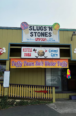
Not too far down the road we stopped in Brookings for some nourishment, although I have to admit that the name of this ice cream shop didn't sound very promising. Luckily, the ice cream was much better than the shop name intimated.
Then we entered the Samuel H. Boardman State Scenic Corridor, roughly twelve miles of some of the most beautiful coastline I have ever seen.
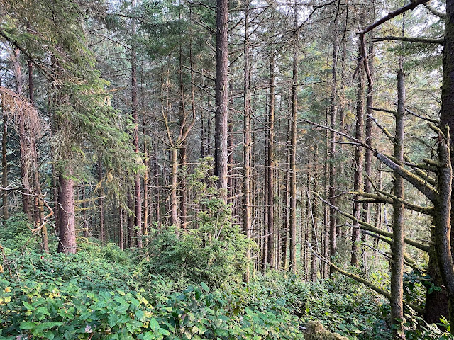
1. Our first stop was five miles north of Brookings at Lone Ranch Beach. A trail led us through a small forest of wild raspberries in various stages, some ready for picking. We were happy to relieve the branches of their burden.
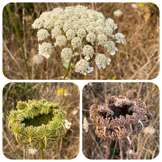
Delicate Queen Anne's lace/wild carrot in its various iterations decorated the path:
It was mid-afternoon, and we were alone on this misty, mystical beach.
While Mother Nature was busy creating subtle patterns in the gritty sand . . .
. . . Bob headed out to the tide pools.
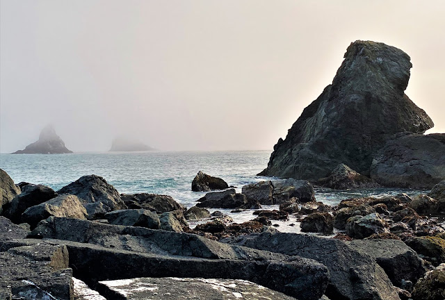
The Southern Oregon coastline is known for its sea stacks--impressive off-shore rock piles that look like Tolkien's Mordor.
There were plenty of good finds:
Q: What is a large group of snails called?
A: An "escargatorie."
Past the tide pools and around the bend, for just a moment the fog cleared and the colors brightened.
But the isolation remained striking. No picnickers or dog-walkers here.
We did come across this makeshift shelter, and I wondered if it was a cold homeless person who built it, or perhaps a group of teenagers enjoying the beach.
A weathered sign on a weathered rock notes that
"This location, approximately the center of two miles of spectacular ocean coast line, a portion of Samuel H. Boardman State Park, was donated to the people of Oregon by Borax Consolidated Limited, predecessor to United States Borax & Chemical Corporation. September 1950." Nice to know.
And by the way, who was Samuel H. Boardman, the eponymous benefactor of this stretch of gorgeousness? According to this sign, he was a conservationist, a visionary, and a zealot--just the kind of man you would have wanted to be Superintendent of your state parks from 1929-1950.
2. Next up,
House Rock Viewpoint. Breathtaking, isn't it?
There was a nice trail into the trees overlooking the beach.
It was a beautiful and solitary saunter.
3. Next stop:
Whalehead Viewpoint. The sun was beginning to fall toward the horizon, and the lighting was lovely.
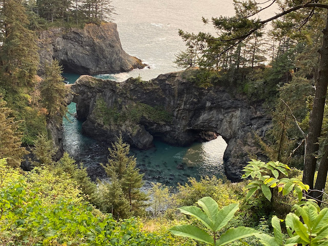
4. Two of our favorites stops came next. First, we oohed and ahhed at Natural Bridges Viewpoint:
5. And second, we stopped to look at
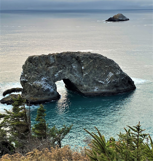
Arch Rock, which was gorgeous, especially in its pool of turquoise water.
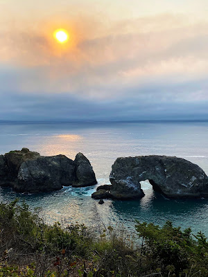
As impressive as the Arch Rock is, its surroundings are even more exquisite. Look at all those sea stacks:
When we turned around and looked north, this is what we saw. Maybe it was the time of day, that period of magical light just before sunset, but I felt like there should be some swelling soundtrack to go with these views.
The living landscape provided plenty of pleasure as well.
But like many things in life, there was also potential pain.
6. Our next stop was Pistol River State Park. The Pistol River is a 21-mile-long stream (not really a river) that originates in Siskiyou National Forest and empties out into the ocean. It got its name after a pioneer lost his pistol in it in 1853.
With its rolling swells of fine sand, this area felt more like dunes than a beach.
Patterns created by the wind made areas of more gritty sand look like a Japanese Zen garden.
Wuthering Heights, meet Lawrence of Arabia.
That night we stayed in a hotel in Gold Beach. We hadn't had our fill of the Oregon coastline, however.















Beautiful photos. Love the Oregon coastline.
ReplyDelete