Tuesday, March 30, 2021

TEXAS PANHANDLE, AMARILLO: SLUG BUGS AND CADILLACS

March 18-19, 2021

Let me get this out of the way. When Bob first brought up this trip, I was not excited.  I mean, how much do you want to visited the Texas Panhandle? He had to dangle the promise of at least one art museum in front of me and a few quirky destinations (two of which are covered in this post). He also promised we would spend some time in Central Texas and end the trip in Austin. It helped that I was desperate to leave home. We were supposed to be traveling to the Galapagos Islands during my March 2021 Spring Break, and even Texas sounded better than staying home and moping.

We flew out of Ontario, had an hour-long layover in Dallas, and then had a short flight to Amarillo.  On our arrival, Bob started singing the 1973 song "Amarillo by Morning" and unfortunately didn't stop singing it for several days. 

We were welcomed to the small Amarillo Airport by this statue of Rick Husband, an Amarillo native who was killed aboard the space shuttle Columbia when it disintegrated during reentry into the Earth's atmosphere in 2003.

Friday, March 26, 2021

THREE SUMMITS: #3, BLACK MESA IN OKLAHOMA, CAPULIN VOLCANO, AND SUGARITE CANYON

 October 18, 2020

We had one more highpoint to summit on this trip: Black Mesa, the highest point in Oklahoma. One of the interesting thing about this highpoint is that Black Mesa actually extends into Colorado and New Mexico, and the highpoint in both of those other states is higher than the highpoint in Oklahoma (but is not the highpoint in those states).

We left our hotel at about 7:00 AM and drove an hour to the trailhead. When we began our hike just after 8:00, it was only 36° F.  I wrote in my notes that I was wearing 2 pairs of pants, a long-sleeved shirt, a Columbia zip jacket, a down jacket, and Bob's gloves. (Thanks, dear.)

The round trip hike was 8.4 miles, and when we got back to the car at 11:30, it was 39°.  It was cold, but we kept up a quick pace and it wasn't too bad--until we got to the mesa itself.

Just before the gate is this granite bench honoring Jean Trousdale, "Highpointers Foundation Director, Founder of the Club Mercantile, Clinical Psychologist, Mother, Grandmother, Friend." The photo of her with her dog is captioned, "Enjoy the view and have a good hike!"  She looks like someone I would have liked to know.

Monday, March 22, 2021

KANSAS: CIMARRON NATIONAL GRASSLAND, THE SANTA FE TRAIL, AND POINT OF ROCKS

 October 17, 2020

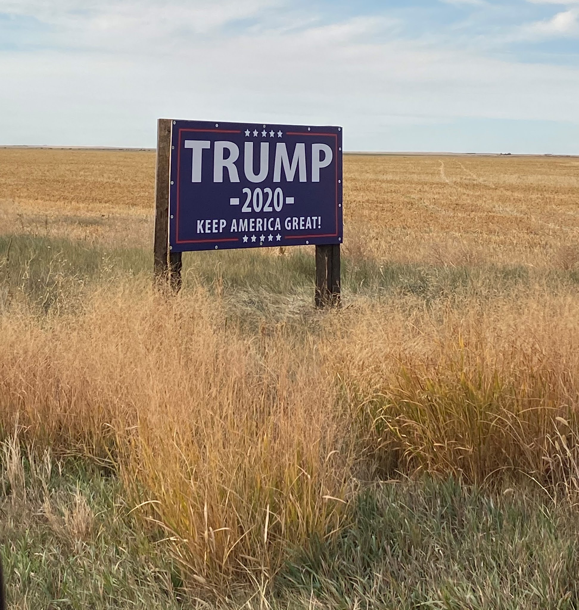
After our exhausting climb to the summit of Mount Sunflower 🤣, we needed some nourishment, so we stopped in Syracuse (Kansas, not New York) for lunch and had a very mediocre tostada in a restaurant called "Porky's Parlor." The name alone should have warned us away. Not one other person besides us was wearing a face mask. Yep, Trump county.

However, at least we got to visit the "Home of the USA's First All-female City Council." That was a treat!


Mural in the restaurant parking lot

Our first afternoon stop was Cimarron National Grassland, 108,176 acres of grassy plains bisected by the Cimarron River. National Grasslands are essentially identical to National Forests, but think prairie instead of trees. This grassland, which used to the the territory of the Comanche Indian tribe, is now the largest area of public land in Kansas.

The Native Americans got chased out, but there are still a few local residents left.

Supposedly this is a popular fishing area, but when we were there is was so quiet. There was no one else there, but also no birds, no bunnies, no creepy-crawly things (except the aforementioned grasshoppers).


The Little House on the Prairie books take place in Kansas, and I could picture Laura running across this expanse, her gingham skirt and braids flying out behind her.


Our next stop was Middle Spring, a stop on the Santa Fe Trail, which pretty much bisects Kansas.

These trees are relatively new additions to the site. They certainly weren't here when the pioneers were passing through.

The bridge across the stream is also an addition since Santa Fe Trail days.

The travelers endured miles and miles of prairie with very little water until they reached Middle Spring.


Supposedly, these ruts were made by the wooden wheels of the Conestoga wagons that were a common mode of transportation.

In contrast, this was our rental car--a Jeep Cherokee.  I just had to squeeze a picture of it in for the great-great-grandkids. It might seem as foreign to them as the Conestoga wagons do to us.

We walked for a little way down the "trail" to get a feel for it.


Our last stop was at a tall butte called Point of Rocks. At 3,540 feet, it is the third highest point in the state and was an important landmark for travelers heading west.


An information board at the site has this great quote from Albert Pike. Note that he spells "Cimarron" "Semaron." 

Caravans on the 800-mile-long Santa Fe Trail took six to ten weeks to make the journey between Independence, Missouri, and Santa Fe, New Mexico. When the railroad reached Santa Fe in 1880, the Santa Fe Trail gradually slipped into obscurity.

I feel almost guilty for having accessed this spot via an air-conditioned four-wheel drive vehicle.


As we left Point of Rocks and started the drive to our hotel in Clayton, New Mexico, we drove past several of these interesting animals. It looks a little prehistoric, doesn't it? Something to do with fossils, perhaps?

A beautiful sunset was the perfect ending for a fun day.

"A Prairie Sunset" by Walt Whitman

Shot gold, maroon and violet, dazzling silver, emerald, fawn,
The earth's whole amplitude and nature's multiform power consigned for once to colors;
The light, the genial air possessed by them--colors till now unknown,
No limit, confine--not the Western sky alone--the high meridian--North, South, all,
Pure luminous color fighting the silent shadows to the last.

Thursday, March 18, 2021

THREE SUMMITS: #2, MOUNT SUNFLOWER IN KANSAS

October 17, 2020

We had a 2.5-hour drive to our next high point, Mount Sunflower in Kansas, so we got off to a relatively early start.  Here we go again--these signs were everywhere.

It didn't take us long to leave the paved streets behind. These roads are essentially farm access roads, but they are well-maintained and Bob drove at a pretty good clip on the crunchy gravel.

He wasn't driving so fast that he missed that lump in the road in the picture below, however. Can you see it?

One of us gets excited when she unexpectedly runs across an ice cream parlor or an art museum, The other one of us gets positively giddy when he unexpectedly finds a snake in the road.

Sunday, March 14, 2021

THREE SUMMITS: GETTING THERE AND SUMMIT #1, PANORAMA POINT IN NEBRASKA

 October 16, 2020

Now that we have been to all 50 states, my husband is trying to "fill in the spaces" on the United States map--traveling to places within the states where we have not been. Since we have been to many of the major cities, that means that he is looking for, shall we say, "out-of-the-way" places to visit. He also is keeping a list of state high points that he has climbed (or driven to). That's how he got the idea to travel to a rather obscure area of the U.S.--the western regions of Oklahoma, Kansas, and Nebraska. He could check three high points off his list and visit a little-known area of the U.S. Perfect.

Looks excitin', doesn't it?

And just to convince you of how exciting this trip was going to be, here is the location of those three high points. Note how close they are to major cities--heck, to any city. They are in Nowheresville.

This is what I was leaving behind. (The mural is in the Ontario Airport.)

We flew from Ontario, California, to Denver, Colorado. The best part of the flight was that we flew directly over the Grand Canyon. If we've done that before, I have not had a window seat on the correct side of the plane. This time, I had a spectacular view.

Wednesday, March 10, 2021

NORTHEASTERN CALIFORNIA: LAVA BEDS NATIONAL MONUMENT

 September 6, 2020

On July 22, 2020, a thunderstorm rolled through northeastern California, and lightning strikes started several fires, including one in Lava Beds National Monument. Named the Caldwell Fire, it roared through over 83,000 acres before it was contained. The area, dense with ponderosa and lodgepole pine, had not seen fire in over 40 years.

About 70% of the park was scorched. If you do a Google image search of Lava Beds National Monument, you get photos like these that show trees and grasses growing on the perimeters of the lava beds . . .

From here

. . . and also throughout lava fields.
From here

When we turned into the park, we didn't realize what had occurred there six weeks before.