Showing posts with label Cruising. Show all posts

Tuesday, May 23, 2017

BARBADOS: CATAMARAN SAILING AND A FLYING FISH SANDWICH

Quick, give me a fact about Barbados! Yeah, me too. I knew n-o-t-h-i-n-g about this tiny island before our trip, other than that it was in the Caribbean (but I couldn't have sworn to that). I've learned that Barbados, which was "discovered" by Spaniards like so many other Caribbean Islands, was eventually colonized by the British. In 1966 it became an independent state and Commonwealth realm. 

I've discovered that Barbados is only 21 x 14 miles, covering an area of 167 square miles and boasting a population of about 280,000 people. Its capital, Bridgetown, contains almost half of the population. Two of George Washington's ancestors were early planters on the island, and Bridgetown is the only city outside the present United States that Washington every visited. It was in 1751, and he was 19 years old. The house where he stayed is now a museum that can truly say, "George Washington slept here."  Unfortunately, we didn't know about that important landmark when we went there, and so missed an opportunity to visit.

Barbados was the last island we visited on our cruise, and it was a great way to end. Our primary activity for the day was this:

We spent four or five hours on a catamaran with the evocative name of Silver Moon, enjoying the cool breeze, snorkeling, being waited on by a solicitous crew, and going for a dip in the sea near the nethermost part of the island.  It was heavenly.


Monday, May 8, 2017

ST. LUCIA, PART I: AN OLD FRENCH BASE, A SNAKE, THE TET PAUL NATURE TRAIL, THE PITONS, AND SOME SULPHUR SPRINGS

The next stop on our Caribbean Cruise was the island of St. Lucia. Only 238 square miles, it is nevertheless a sovereign nation, as are many of the Caribbean islands. Originally invaded by the Dutch and the English, St. Lucia was officially claimed and then settled by the French in 1660, but then suffered through a couple centuries of fighting between the French and the British, during which time the island changed hands 14 times. It wasn't until 1979 that it became an independent commonwealth, though still associated with Great Britain.

In spite of its small size, this island was much harder to navigate than the others we had visited.  As the map below shows, it is very mountainous, and the narrow roads snake up, down, and around those mountains in circuitous ways that didn't always make sense. I was glad that we had hired a private driver who knew where to go and how to get there.

Cool fact about St. Lucia: It is the ONLY country in the whole world named after a woman. St. Lucia (also known as St. Lucy) was a Christian woman who lived in Syracuse, Sicily, and was killed during the rule of the Roman Emperor Diocletian in 304 AD.

Another interesting fact about St. Lucia, and indeed about most of the Caribbean islands, is that the native people, called "Caribs," were replaced not by their conquerors, but by their conquerors' slaves. Other than Puerto Rico, every island we visited was populated predominantly by those of African descent.

We docked at Castries, the capital city, and met up with our driver, a native St. Lucian who has never ONCE left this little island. He was very nice, but he didn't offer any information unless we asked, and then his answers were only a few words spoken very quietly. It was a little frustrating.

The island is 40 miles long, and thus bigger than some of the other Caribbean Islands we had visited. However, distances seemed MUCH greater because of the convoluted roads. Our first stop was an overlook where the French used to have a military base. A guide waiting for us on the site (in whom I didn't have a lot of confidence) pointed out three tiny prison cells that he said were used to house 80-90 prisoners each:

He demonstrated what it was like for a prisoner, but I didn't think it was a fun as he did:

Sunday, April 30, 2017

ANTIGUA

Up to this point, most of the islands we had visited had a more or less round or oval shape. Antigua, our next destination, is shaped more like a SPLAT!, like a blob of baby food thrown to the floor from a high chair. 
We docked in St. John's, circled above, and had two major destinations
marked by stars on the map: Stingray City and Nelson Dockyard.

Christopher Columbus named the island "Antigua" (Spanish for "ancient") in 1493, but the native people call it "Waladli," which means "our own." I find the difference in names a little sad. Clearly, once the Europeans arrived this island no longer belonged to the native people, at least not for long.

We rented a car so that we could drive around the island on our own. Right next to the car rental place was a field with dozens of large white birds in the grass and in the trees. They scattered as we approached, so this picture doesn't show how many there were:

Some kind of egret? Heron? We still aren't sure.


It was fun to see the boat from the car rental lot:

It was even more fun to see Auntie Edris. Whoever she is, she looks like someone I'd like to have met:

Tuesday, April 25, 2017

ST. KITTS: BRIMSTONE HILL FORTRESS NATIONAL PARK

As St. Kitts is approximately 18 miles long and about 5 miles wide, the loop to drive around the island should be approximately 46 miles, but given the very narrow, winding condition of the road, the drive is longer and much, much slower than that:

The last place we visited and our turn-around point as we made our way clockwise around the island from our starting point at Basseterre was Brimstone Hill, marked by the red balloon on the map below with our route marked by the purple line. It would have been fun to complete the circuit, but that will have to wait for another visit.

Before going to Brimstone Hill, however, we had to find some lunch. We were looking forward to a quaint, St. Kittsian place serving distinct local food, but it was not to be. We stopped in Sandy Point Town just beyond the turnoff to Brimstone Hill. With a population just over 3,100, it is the second largest town on St. Kitts, which tells you something, doesn't it?

Anyway, perhaps we were not patient enough in our search.  We could not find anywhere to eat that had a local flavor, so we ended up at a place called "King Snack" that turned out to be a Chinese fast food joint. It didn't look particularly promising, but our only other option seemed to be convenience store food.

I had garlic shrimp, and it was actually pretty good--lots of shrimp, crunchy broccoli, and plenty of brown rice.

Bob had fish chop suey, which had large chunks of fish and lots of vegetables, but was a little too fried and crunchy for me:

We added the Caribbean flavor we were seeking by dowsing the food in West Indian Hot Flambeau Sauce, and then washed it all down with grapefruit Schweppes.  It was as very international lunch.

Our tummies full, we were ready for our next adventure.

Brimstone Hill Fortress, a UNESCO World Heritage Site, is at the end of a very steep, narrow, winding road. This sign on one of the hairpin turns reminded me of the song "I've Been Working on the Railroad." ("Dinah won't you blow your hor-or-orn!"):

Thursday, April 20, 2017

ST. KITTS: ROMNEY MANOR, CARIBELLE BATIK, AND WINGFIELD ESTATES

St. Kitts is an island with a surprising number of things to see, especially considering that it is only 18 miles long and an average of 5 miles across.

My brother headed off on his own journey to climb Mount Liamuiga, the 3,792-foot-tall volcano that dominates the western end of the island. 
Picture borrowed from here

The remaining five of us toured Basseterre (see last post), and then headed out of the city in our rental car on a trip along the coast. 

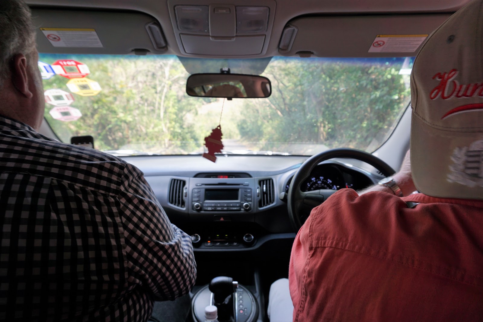
Just a note about renting a car. On most of the Eastern Caribbean islands, the steering wheel is on the right and you drive on the left side of the road as you do in Great Britain, the opposite of what we're used to. It can be a little disconcerting at first, but you'll get used to it quickly. However, driving is further complicated on St. Kitts because the roads are almost all only wide enough for one car, so if there is two-way traffic, one car pulls as far over to the left as possible.The roads were clearly not built for a lot of automobiles. 

No wonder that in some places, St. Kitts feels like an uninhabited tropical jungle:


Our first stop was one I had requested, a batik factory. I had read that batik is one of the main crafts of the Caribbean, and Romney Manor is the place to go to see it made.

Long before batik became popular here, however, he first European settler of this area was Sam Jefferson, the third-great-grandfather of Thomas Jefferson. He established a home on St. Kitts in the early 17th century, but sold part of his estate to the Earl of Romney in the mid-17th century. Successive Earls of Romney owned this area through the mid-19th century. In 1834, contrary to the wishes of British Parliament, the Lord Romney of the day freed all his slaves, making the Romney Estate the first one in St. Kitts to emancipate its slaves.

Moving forward to the 20th century, since 1974 the Caribelle Batik company has been operating a highly successful business from this spot. The name "Caribelle" can be broken down into its two key parts: "Carib" (for Caribbean) and "belle" (meaning beautiful). And beautiful it is:

Friday, April 14, 2017

BASSETERRE, ST. KITTS: A PARK, TWO CHURCHES, AND A BAKERY

We disembarked at about 8:15 AM in Basseterre, the capital of the Federation of St. Kitts and Nevis (two separate islands whose two names together are the official name of the country) and one of the oldest towns in the West Indies. Based on the modern, flambouyant port, you wouldn't guess this city was founded by the French in 1627:
The British kicked the French out and took over in 1727, and St. Kitts became an important part of the triangular slave trade. That's not all it's famous for. Alexander Hamilton spent part of his youth on this island. It's a place with a lot of interesting history.

We set out on foot to see some of the main sites in Basseterre, starting with Independence Square. Back in the days of the slave trade, this square was the site of the slave market. It was rebranded in subsequent years as the city's political and social center, and then rebranded again in 1983 when St Kitts and Nevis attained their independence from Great Britain and gave it the ironic name of "Independence Square."

A close-up of the strange fountain:

On one side of the park is the Catholic Immaculate Conception Co-Cathedral. A "co-cathedral" shares the function of being the bishop's seat with another cathedral, but I haven't been able to figure out which cathedral is this one's other half:

Built in 1928, this church looks much older than it actually is (like a lot of us):

Monday, April 10, 2017

U. S. VIRGIN ISLANDS: ST. THOMAS AND ST. JOHN

Our first port after one night on our cruise ship was the island of St. Thomas. We docked a couple of miles from Charlotte Amalie, the capital of the U.S. Virgin Islands. St. Thomas is one of the territory's four principal islands.

Where Puerto Rico's capital city San Juan was bathed in sherbet-y hues, the island of St. Thomas in the U.S. Virgin Islands was splashed with bold, bright primary colors--crayon colors.


A Dutch-style windmill is not the first thing that I expected to see on St. Thomas, but since coming home I have learned that the Danes who were the original conquerors of St. Thomas established sugar cane plantations here in the late 17th and early 18th centuries. The fields were worked by convicts and slaves, and windmills were built to press the sugar from the harvested stalks. Ruins of 150 windmills are strewn about the Virgin Islands, with just four on St. Thomas. This one at the port is a reproduction.

Of all our ports, this was the only one where we had booked a cruise ship excursion, and since we had to wait around a bit for our departure time, we strolled through some of the open shops. I wish we had bought a "Don't Mess with Bob" t-shirt:

Sunday, April 2, 2017

PUERTO RICO: LUNCH AT A LECHONERA ON PORK HIGHWAY

On Day 2 of our trip, we discovered that even in a parking lot, Puerto Rico's flora and fauna is exceptional. Check out the anole's ragged toes. I'd recommend a pedicure:

Our first stop was the Levittown Ward of the Toa Baja Puerto Rico Stake. The service, though conducted in Spanish, was wonderfully familiar:

Then we headed due south on Highway 184 towards a little town named Guavate, a distance of about 30 miles, much of it on narrow, winding roads. 

As we left the city, we passed this cyclist being pushed along by a guy on a motorcycle.  Now THAT'S my kind of cycling!


Sunday, January 15, 2017

ALASKA! GLACIER BAY

Well, it didn't take us long to get into the cruise life as our Princess ship glided smoothly through Alaska's icy waters. We had been on the go for over a week, and a little bit of R & R was definitely welcome:


Our next destination was the coastline of Glacier Bay National Park, a UNESCO World Heritage Site that encompasses 5,130 square miles or 3.3 million acres on Alaska's southern panhandle. It's a little hard to see in the map below, but our cruise starting point at Whittier is the red oval on the left and Glacier Bay is the center oval:
I think we saw about 1/10% of the park, but it was a spectacular 1/10%.  No roads lead to Glacier Bay, so the only options are to get there by air or by sea. Most visitors see the bay by cruise ship (400,000 visitors/year), but the number of ships per day is limited, which made our viewing experience very nice.

There are fifteen tidewater glaciers in the park, and while we didn't see them all, we did see quite a few. One nice thing about this day at sea is that we had a park ranger on board talking on the ship intercom most of the day. I would never have guessed there was so much to say about glaciers. Honestly, this was our third trip to visit glaciers, and though every single one was gasp-worthy, they were all beginning to look alike to me. That is not to say that it wasn't a fantastic day of glacier viewing, because it was, but a second day of being on the ship all day was causing Cruise Ennui to set in.

And that is my excuse for not having taken better notes as our excellent park ranger spoke.

Monday, January 9, 2017

ALASKA! FROM ANCHORAGE TO WHITTIER AND A CRUISE SHIP TRIP TO THE HUBBARD GLACIER

Our first week of wandering on our own all over Alaska had come to an end, and it was time to get on the cruise ship. (We wholeheartedly recommend our itinerary of self-directed travel + cruise.)  

We had to drive from Seward all the way back to Anchorage to drop off our car at the Anchorage airport, a distance of about 125 miles, but there really was no other option. Dropping off the car where we were getting on the cruise ship would have been horribly expensive. 

We met the Princess Cruise people at the airport, and they put us on a bus with others from our cruise and sent us to Whittier, the cruise port located about 60 miles away but which we had pretty much driven by on our way to Anchorage to return the car. Oh well. Driving anywhere in Alaska is a visual feast, and we enjoy being in the car together.

Our bus drove southeast along the scenic Turnagain Arm of the Gulf of Alaska: